


Google Earth
Please choose the module to use
for Google Earth Display
 IGC2KMZ (Most detailed, bigger size)
GPS2GE V2.0 (Many details, big size)
Simple (Only Task, very small)
Rivin väri Rivin leveys
for Google Earth Display
IGC2KMZ (Most detailed, bigger size)
GPS2GE V2.0 (Many details, big size)
Simple (Only Task, very small)
Rivin väri Rivin leveys
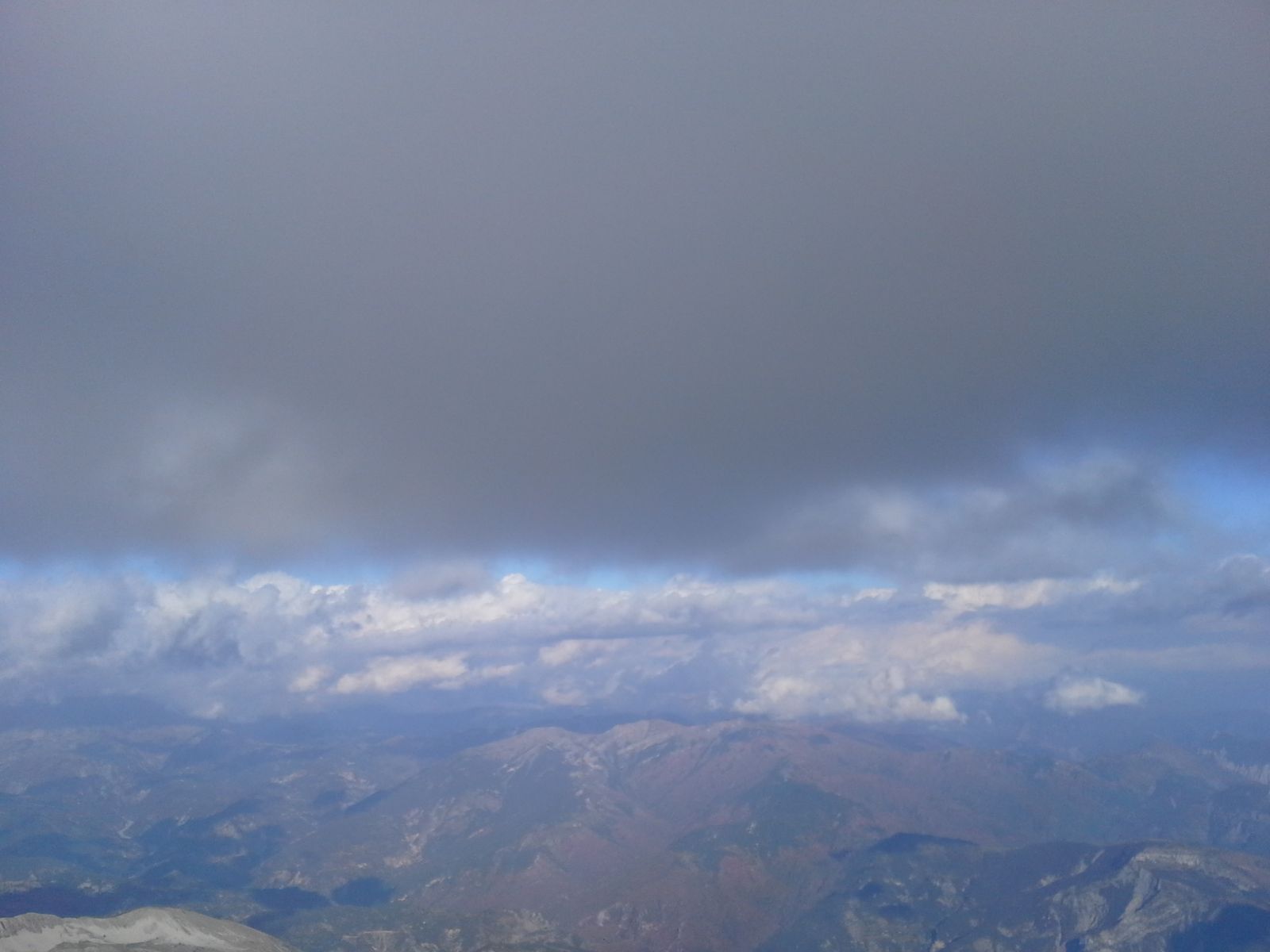
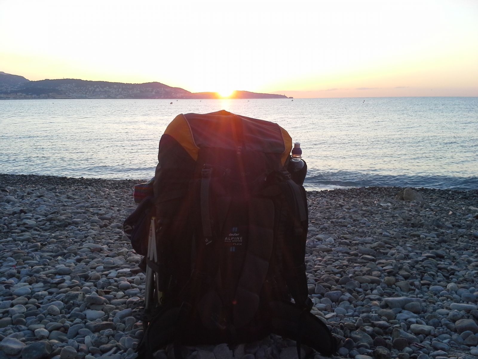
Tietoja lentoalueesta
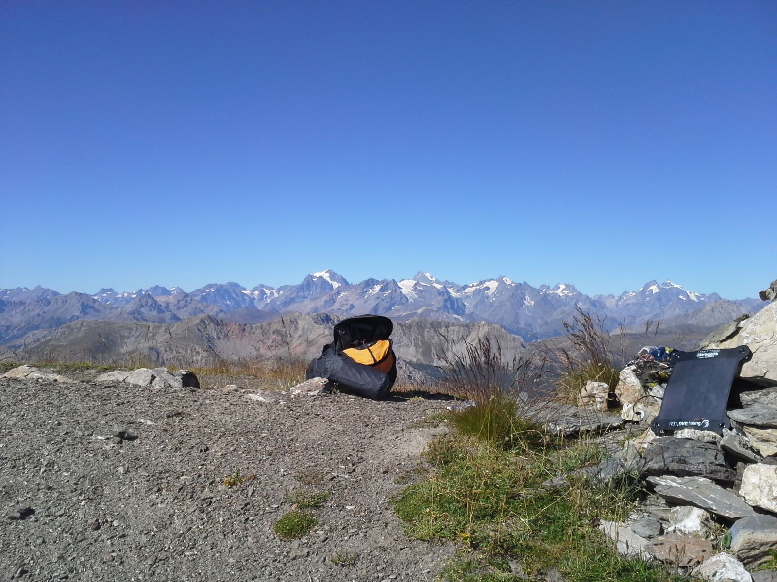
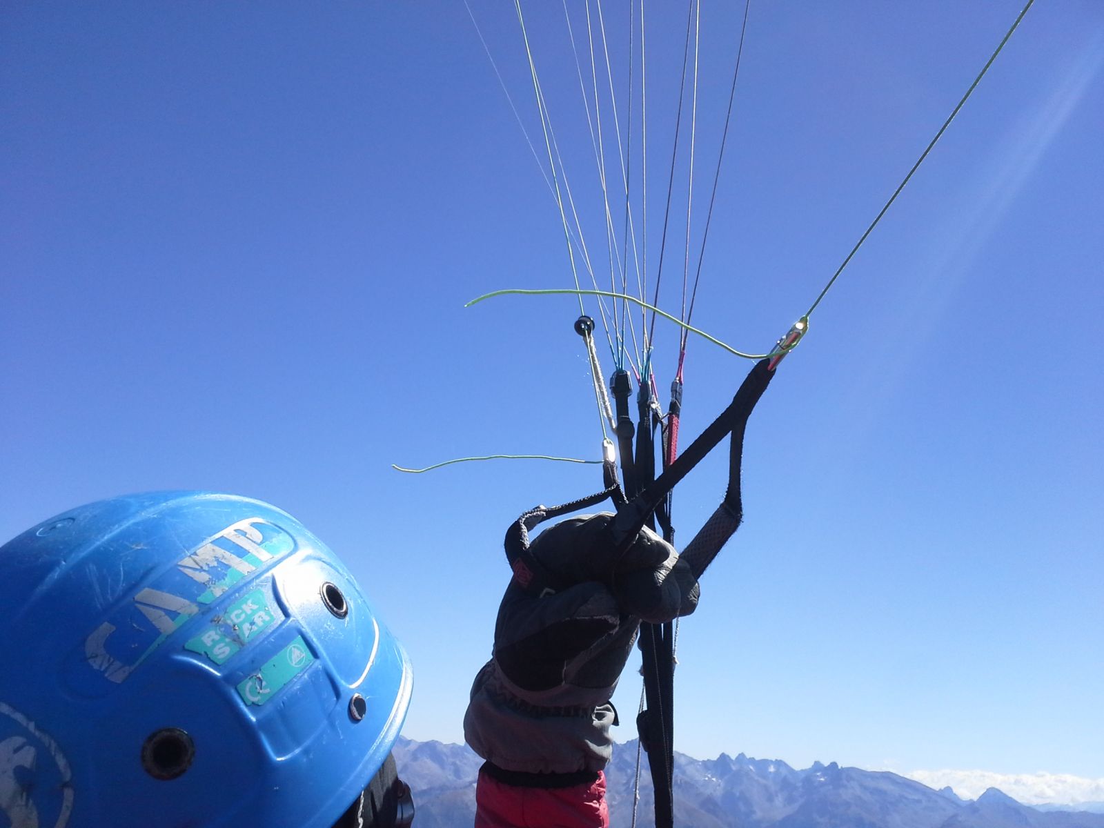
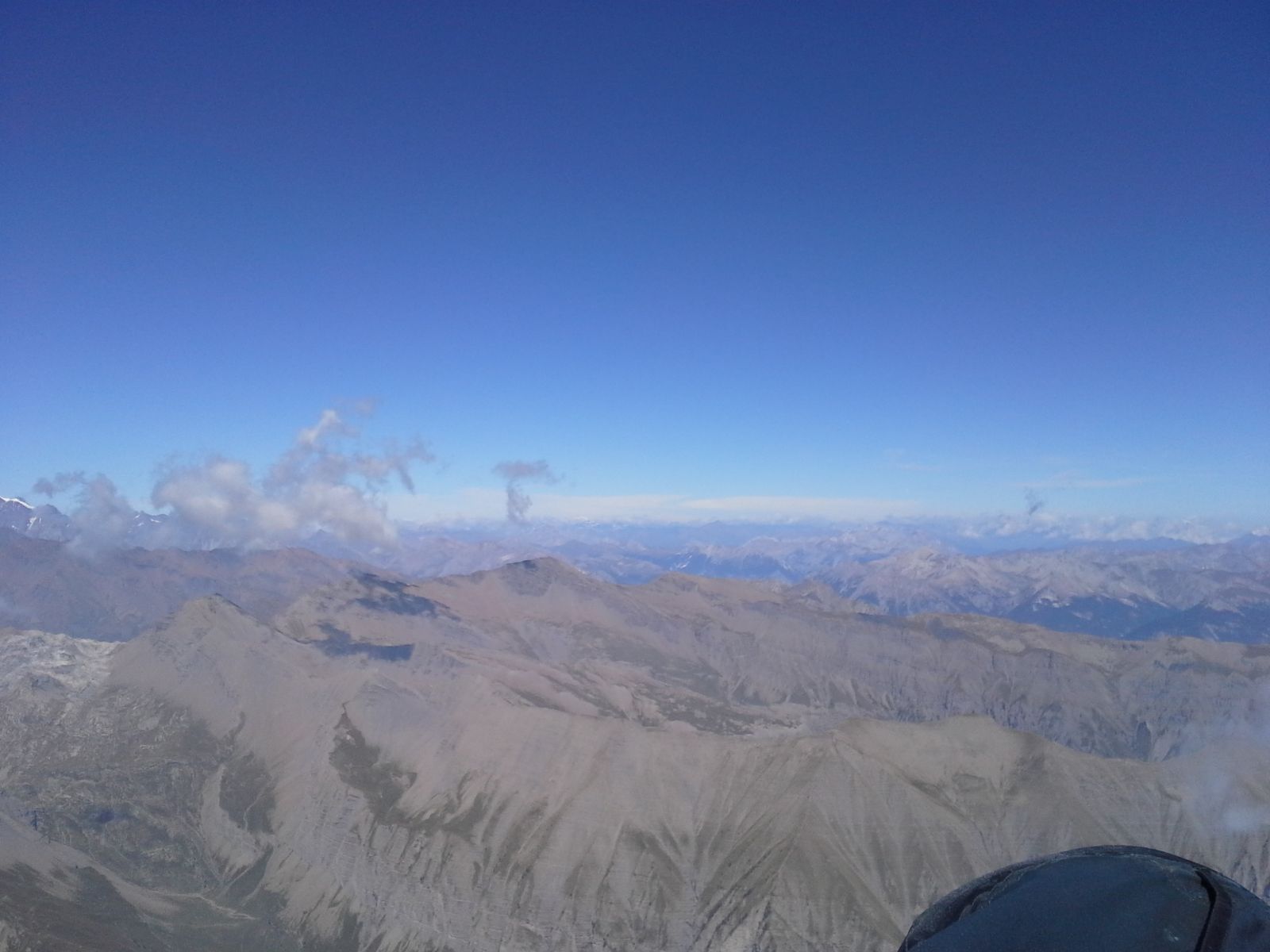
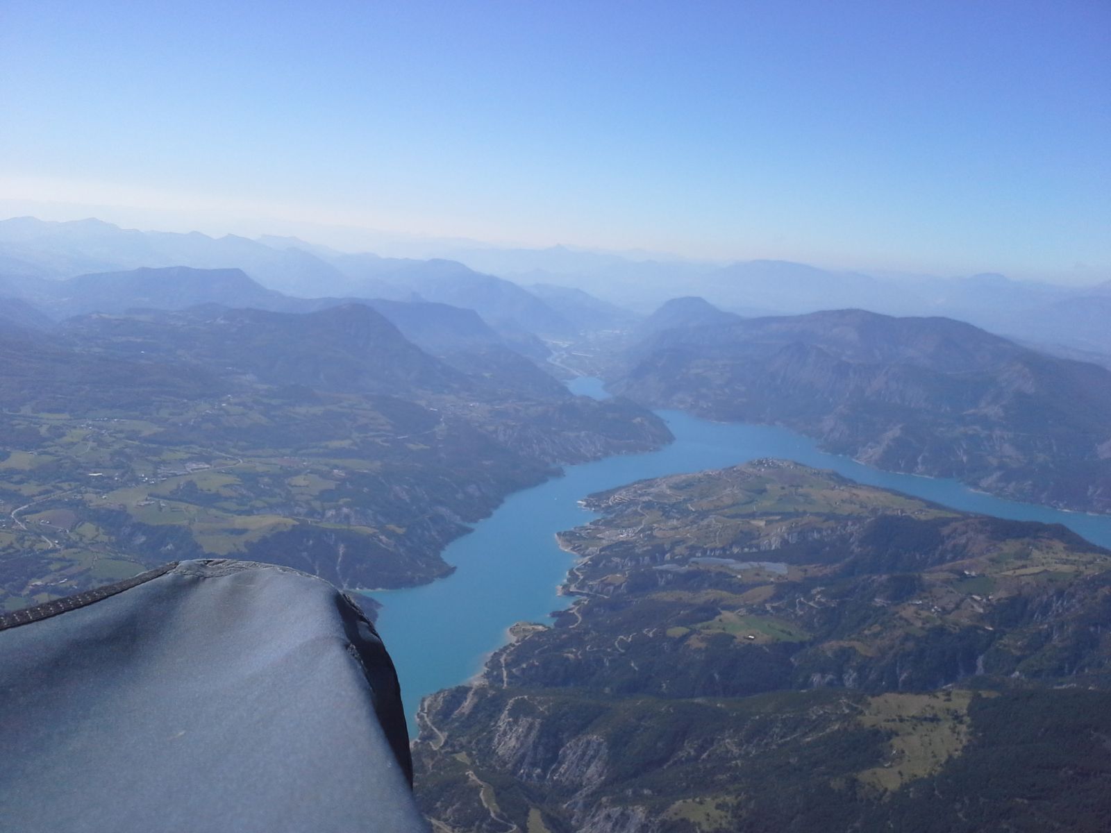
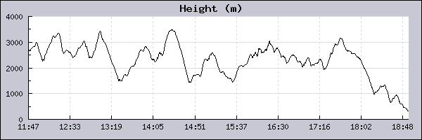
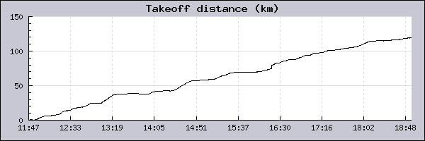
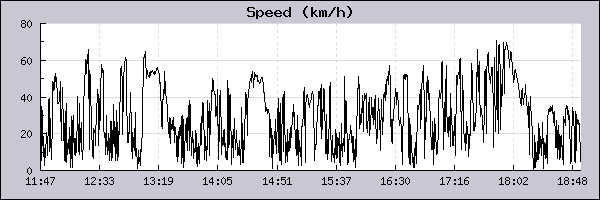
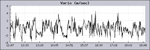
Pilotti: Sebastian Huber Pvm: 12/09/2014
|
||||||||||||||||||||||||||||||||||||||||||||||||||||||||
|
||||||||||||||||||||||||||||||||||||||||||||||||||||||||